Request Your Free eBook Now:
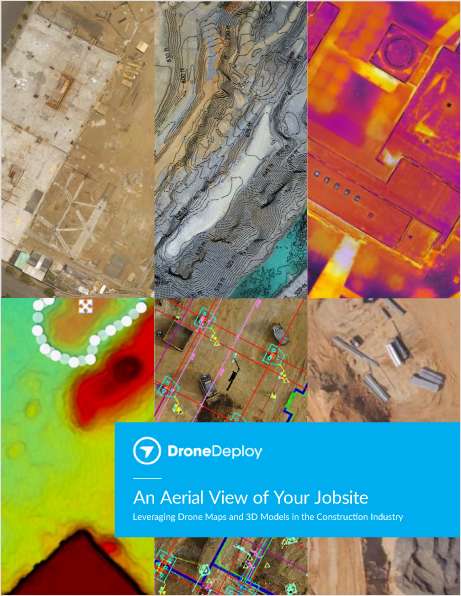
"An Aerial View of Your Jobsite"
Leveraging Drone Maps & 3D Models in the Construction Industry
In this eBook, we explore how construction teams use drones to generate collaborative maps and 3D models, leverage data from high-resolution point clouds, and even create accurate contour maps. We also give examples of how industry leaders like Brasfield & Gorrie, Choate Construction, and McCarthy Building Companies handle safety, implementation, and scale in their drone programs.
Drones are quickly becoming a must-have tool on any jobsite. Whether your team already has a drone, or you’re just beginning to consider the idea, we’re confident you’ll come away with a better understanding of how drones can help you streamline and improve your daily workflows, save time, and create more informed, collaborative teams.
Download the eBook today.
Offered Free by: DroneDeploy
See All Resources from: DroneDeploy